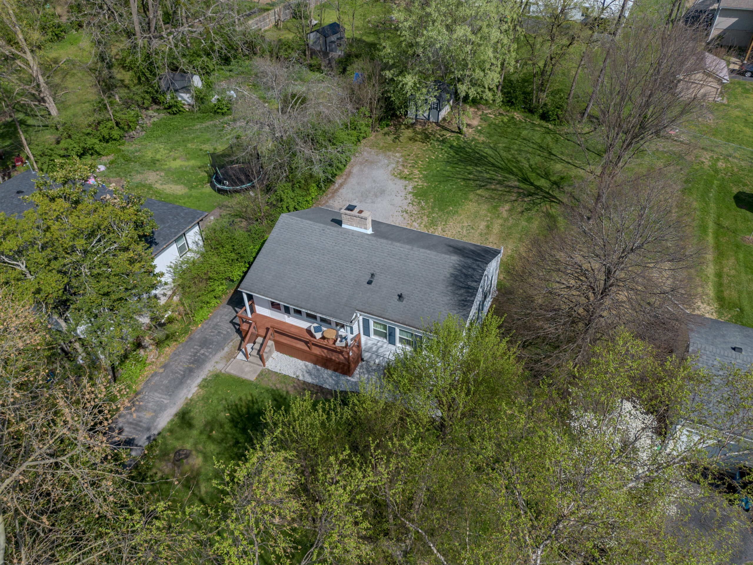
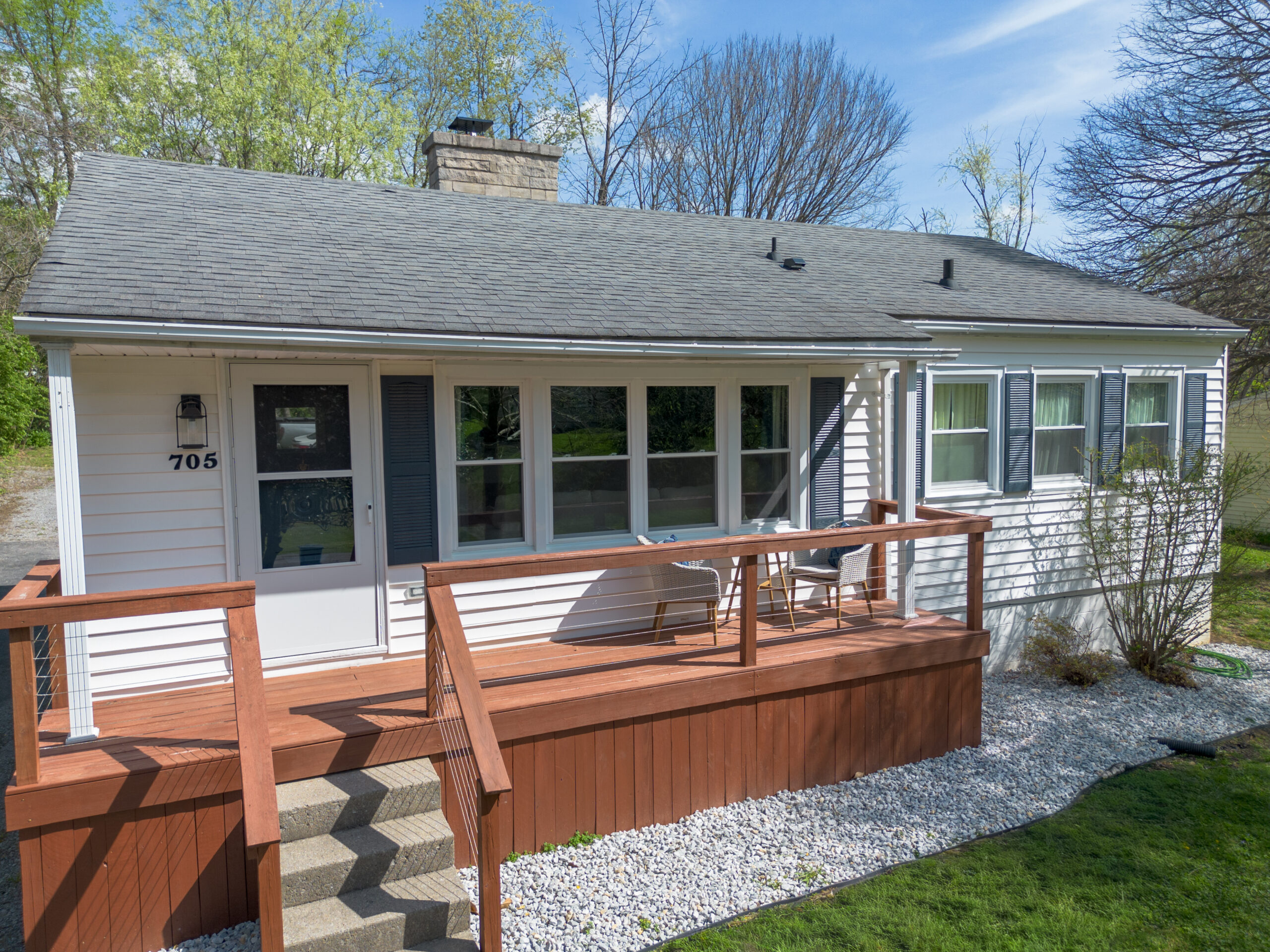
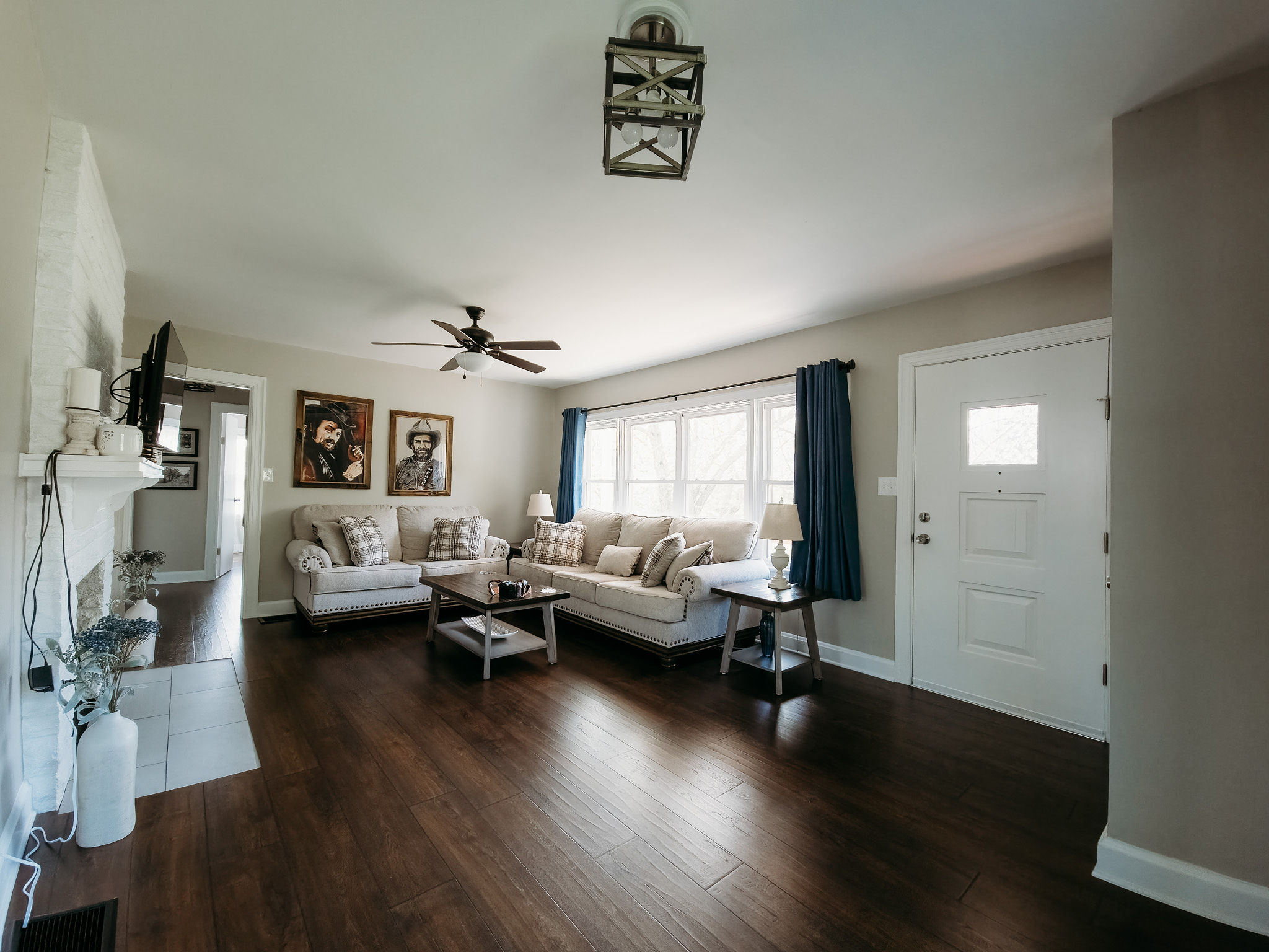
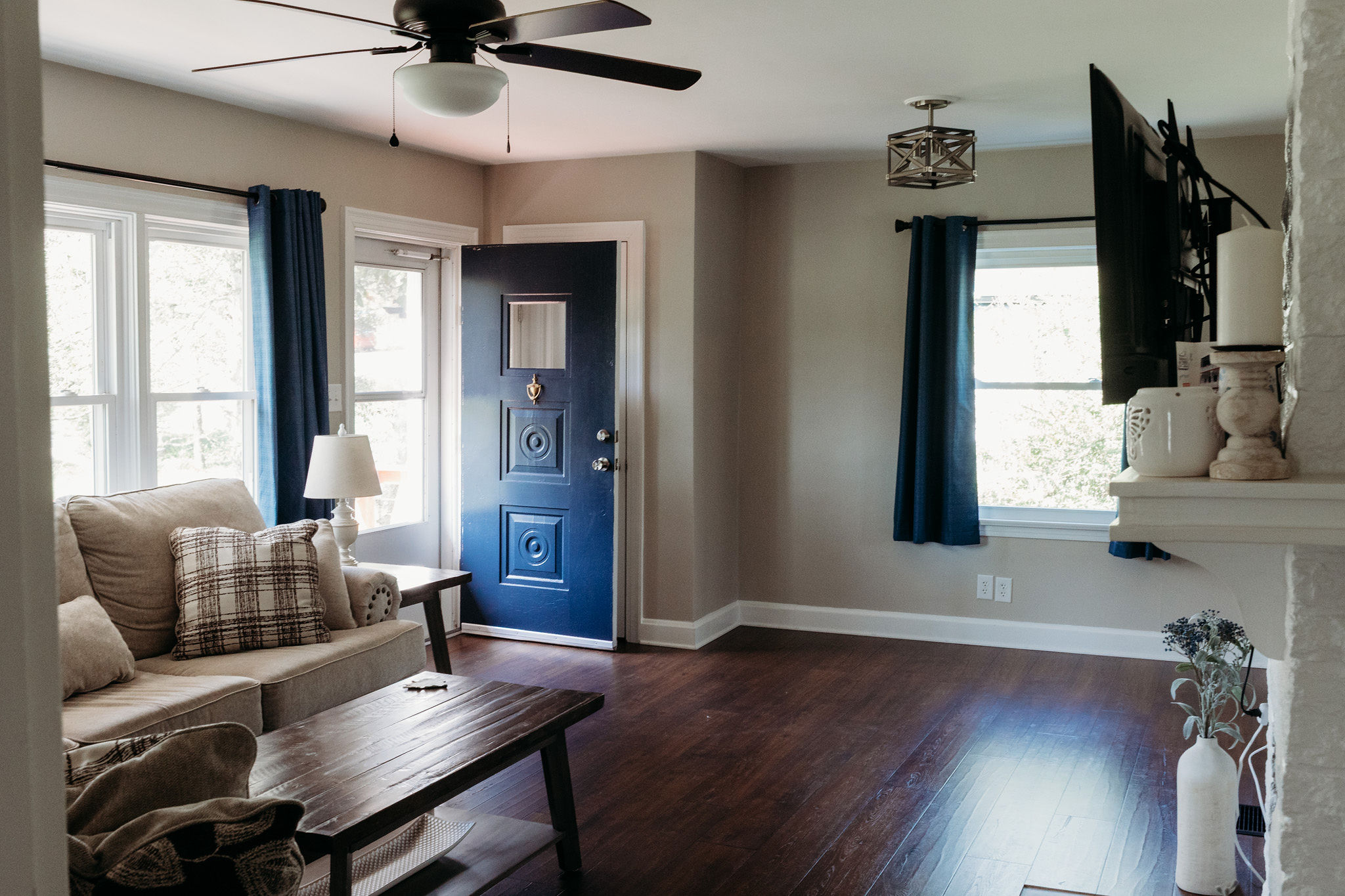
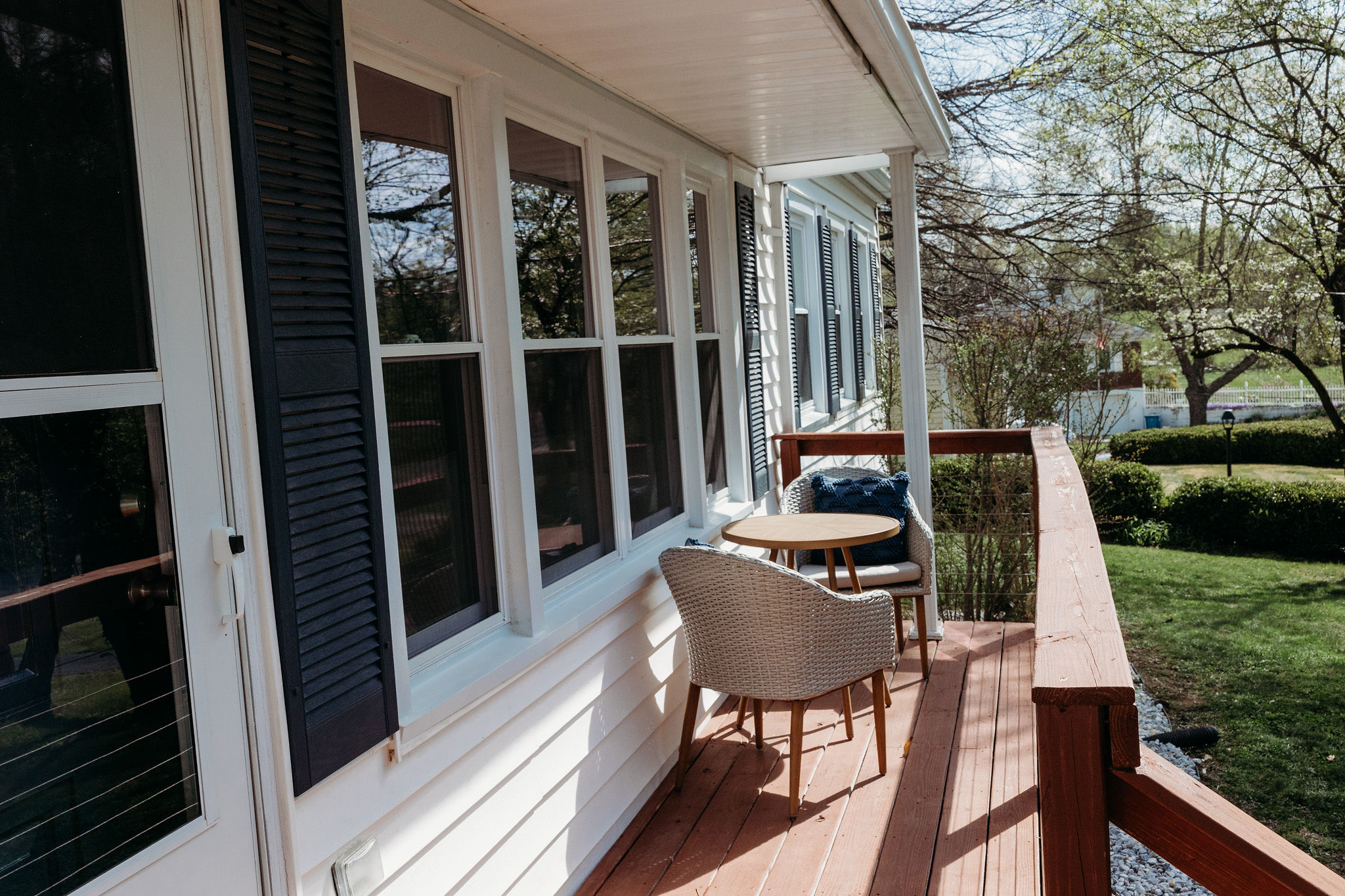
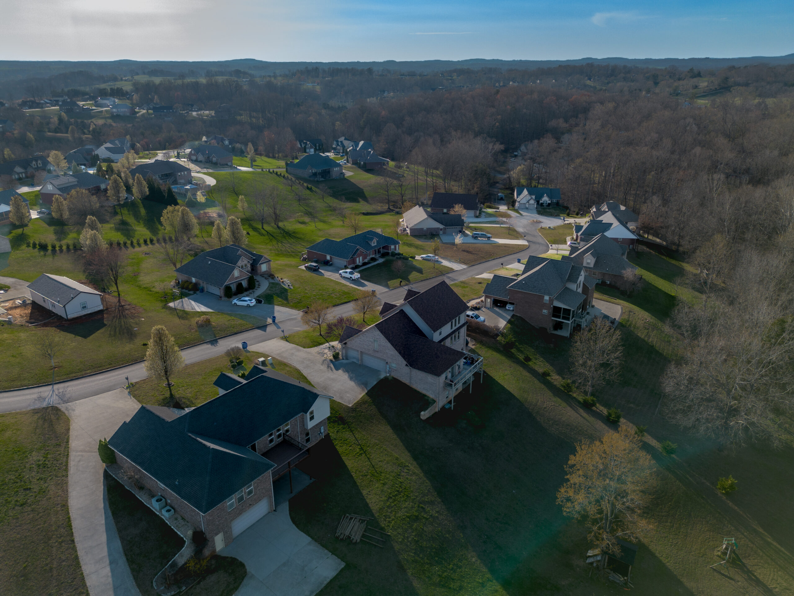
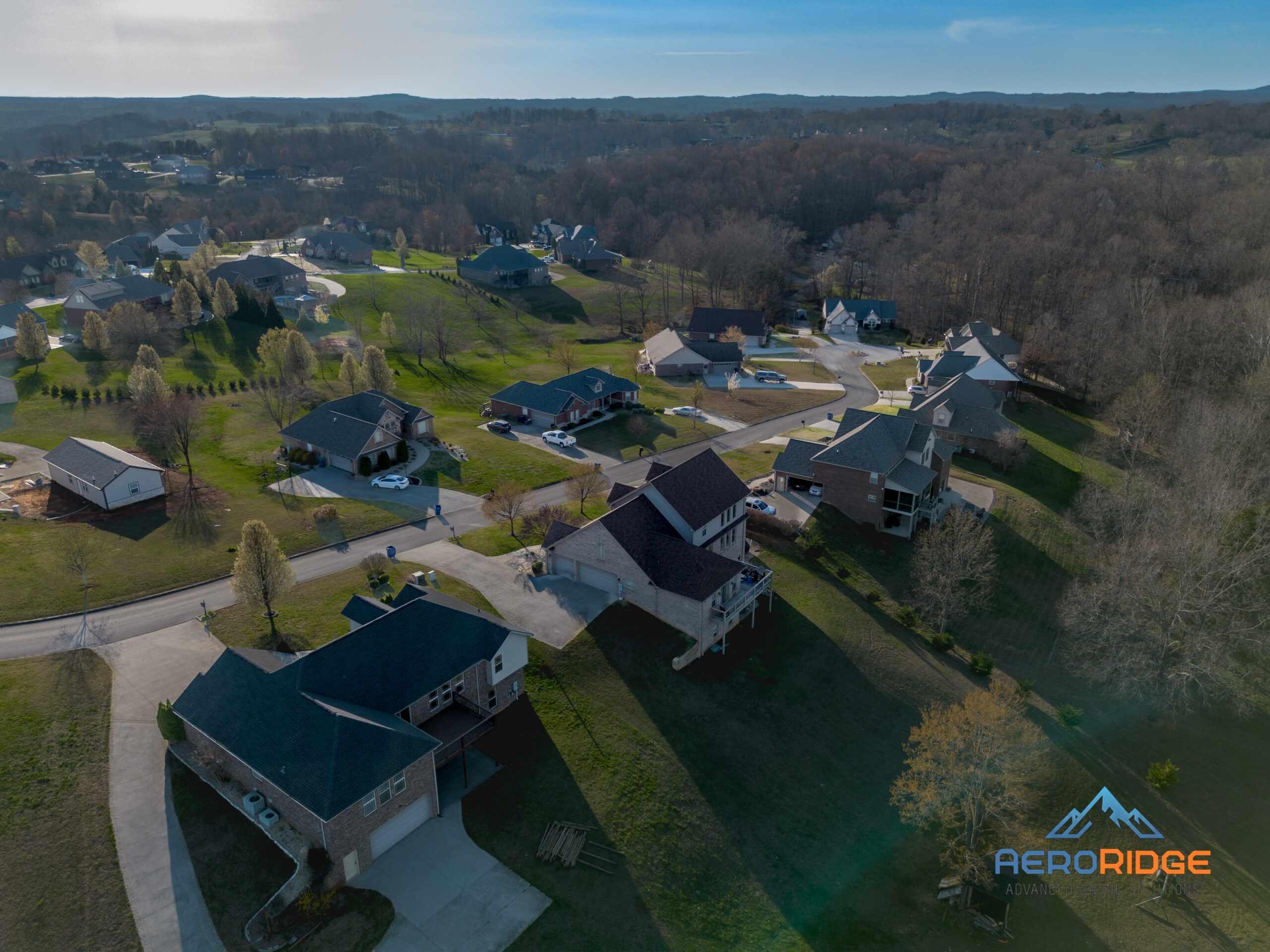
We integrate AI and Color Grading to give your property the best look possible. Cluttered junk making for impossible photos? Patchy lawn? Let us showcase the potential that the property has to offer.
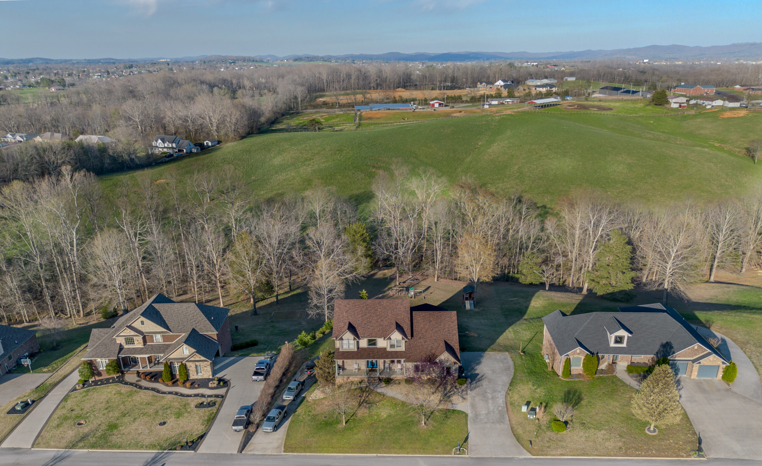
2D Mapping &
3D Modeling
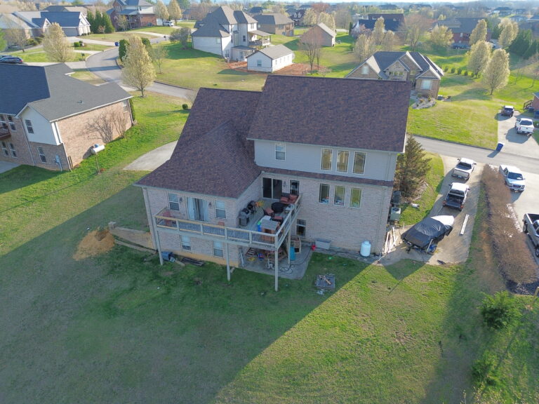
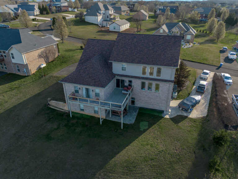
Using the latest in drone technology and advanced software, we can provide 2D mapping for real estate and land management as well as 3D for complete property and asset management. AeroRidge can take guess work into knowledge so you can plan for success.
Use our interactive 3D model to visualize what is possible.